When most people think about thermal drones, solar panel inspections typically come to mind. But thermal imaging technology is opening up fascinating new possibilities in agriculture and environmental conservation that many drone operators haven’t considered yet.
The Power of Seeing Temperature
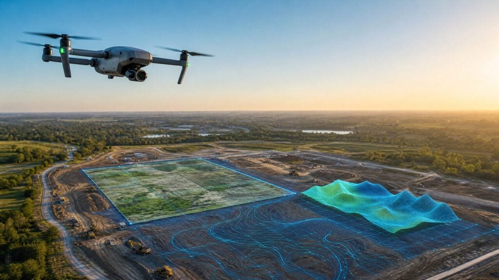
Thermal drones equipped with infrared cameras can detect temperature differences that are invisible to the naked eye. This capability is proving invaluable for soil and water conservation districts working with farmers on voluntary land management improvements. These organizations help farmers implement best management practices that protect water quality and promote soil health, and thermal imaging is becoming an essential tool in their arsenal.
Rotational Grazing
One of the most compelling applications involves monitoring rotational grazing systems.
In this practice, cattle move between different paddocks (fenced sections of pasture) every few days, giving the forage time to recover between grazing periods. The theory is solid: this approach promotes soil health, reduces the need for supplemental hay, and improves overall pasture quality.
What the Thermal Data Revealed
In one case study, a farmer rotated his cattle through five paddocks every four days.
Thermal imaging revealed dramatic results:
- The paddock that had been resting the longest showed a 10-degree temperature difference compared to the one currently being grazed
- There was a gradual 2-degree temperature decrease for every four days of rest
- The temperature gradient from hottest to coolest paddock was clearly visible in a single aerial image
This temperature data matters because cooler soil retains moisture better during drought conditions and supports healthier forage growth. Being able to capture all five paddocks in one thermal image – showing the blue-to-red gradient from cool to hot – provided compelling visual evidence that convinced policymakers to add rotational grazing to the list of practices eligible for cost-share funding.
Poultry Farm Management and Biosecurity
Another innovative application involves monitoring poultry composting facilities. Many regions have significant poultry operations that generate large amounts of chicken litter (used bedding and waste). Proper storage and composting of this material is critical for water quality.
How Composting Works
Static bin composters layer chicken litter with any mortality in a specific process:
- First layer: one foot of chicken litter
- Second layer: any dead birds
- Third layer: another foot of chicken litter
- Temperature monitoring as decomposition occurs
- Material moves between bins as the process progresses
After cycling through two or three bins, the dead birds are fully decomposed, and the material becomes valuable fertilizer for land application.
The Biosecurity Challenge
With avian influenza concerns, biosecurity protocols are extremely strict. Conservation staff can typically only visit one poultry farm per day, and each visit requires extensive decontamination procedures like tire washing. This makes regular monitoring difficult and time-consuming.
Thermal drones solve this problem by allowing staff to:
- Monitor multiple farms in a single day without physical contact
- Check construction progress on new facilities from the roadside
- Identify temperature hotspots that might indicate problems
- Avoid spreading potential disease between farms
Seeing Through Roofs
Here’s something unexpected: thermal imaging can detect what’s happening inside roofed structures.
Even when flying over covered hay barns or composting facilities, the thermal camera can identify which areas are storing material based on heat signatures visible through the roof. While the roof temperature affects the readings, the relative temperature differences clearly show where the hottest areas are located, invaluable information for monitoring the composting process.
Efficiency and Documentation
Beyond these specific applications, thermal drones are transforming how conservation work gets documented and measured.
The technology enables organizations to:
- Quantify benefits that were previously just anecdotal (“the grass looks greener”)
- Provide scientific evidence to support policy changes
- Monitor projects more efficiently with fewer site visits
- Create compelling visual evidence for stakeholders and funding sources
These agricultural and conservation applications demonstrate that thermal imaging technology has applications far beyond the typical inspection use cases. For drone operators looking to expand their services, or for agricultural organizations considering drone adoption, the thermal capability opens doors that standard cameras simply cannot.
The key is recognizing that temperature differences often reveal important information about biological processes, water movement, soil health, and environmental conditions. When you start thinking about your local landscape through this lens, new possibilities emerge.
Article By:
Share this post