Cell tower inspections represent a significant opportunity in the drone services industry.
North Carolina alone has between 1,300 to 1,500 towers, and that’s just one state. The work primarily involves getting climbers off the towers, which presents both benefits and challenges.
Much of the inspection work relates to post-construction activity. When new towers are built or new antennas and carriers are added, that’s when drone inspections come into play.
The Digital Twin Approach
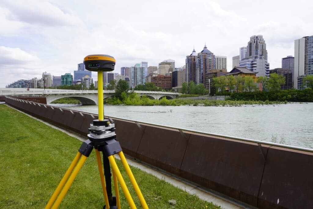
The primary deliverable in tower inspection work is a digital twin: a 3D mesh model created from images.
This model is geo-referenced and uses ground control, typically sticks for measurement or accurate points placed on the ground.
What the digital twin enables:
- Precise measurements between different components
- Visibility into how many RADs are present and their distances
- Clear views of concrete footers (most towers are floating and bolted onto concrete)
- Documentation of vegetation encroachment
- Post-construction verification
- A way for companies to check on sites using specific site numbers in software platforms
The relative accuracy of the tower to its base is what really matters. In most cases, these models stay within the software they’re delivered in: companies typically don’t drop them onto GIS models or maps. They use them internally to determine things like whether another building can be added with another carrier or to check the available space on a site.
Flight Execution: How It Works
For simple configurations, a 180-foot monopole with one to two RADs out in the middle of a cow pasture could be fully automated. The process involves using the drone’s camera and software to take measurements, which then creates a map mission. The drone executes this autonomously while the pilot monitors, changes batteries, and restarts the mission as needed.
Complexity changes everything. When vegetation enters the picture – tree encroachment or anything similar – you can’t do everything autonomously.
What you do is fly autonomously above the tree height, then manually fly everything below. The approach is similar to painting a picture. If you’ve ever done lidar work, you walk around and get every angle of what you’re doing. The same thinking applies here – you don’t want any dead space.
The Equipment Question
About 90-95% of this work is done with DJI equipment.
This type of work initally started with M600s paired with GoPros. The Phantom 4 Pro became the workhorse drone that ran the world for towers for a good four years. Now it’s moved to the Mavic 3s and testing with Mavic 4s.
Here’s the catch: the Mavic 4 doesn’t work well with the RF that comes off cell phone towers. When you move around the backside of the tower with an M4E, you lose signal, which cancels out your entire autonomous mission. You can’t just sit there and walk around it. Some RADs throw signal that messes with the drone. The standard right now is still the M3E, which performs reliably for this work.
Now the work is accomplished with standard DJI equipment, though operators do need to meet quality standards: no blurry images, specific sensors and drones required in many cases.
The Current Market Reality
It does seem that telecom tower inspection is an oversaturated market at this point, and it’s getting priced out if you didn’t get in at the start.
The challenge: It’s tough to get into high-level inspection work now unless you’re working within the private sector, within government, or in something where it’s going in-house.
The opportunity: Consider getting started with established networks like FlyGuys to build experience, develop your reputation, and eventually find your own niche where you can shine and build stronger client connections.
Article By:
Share this post