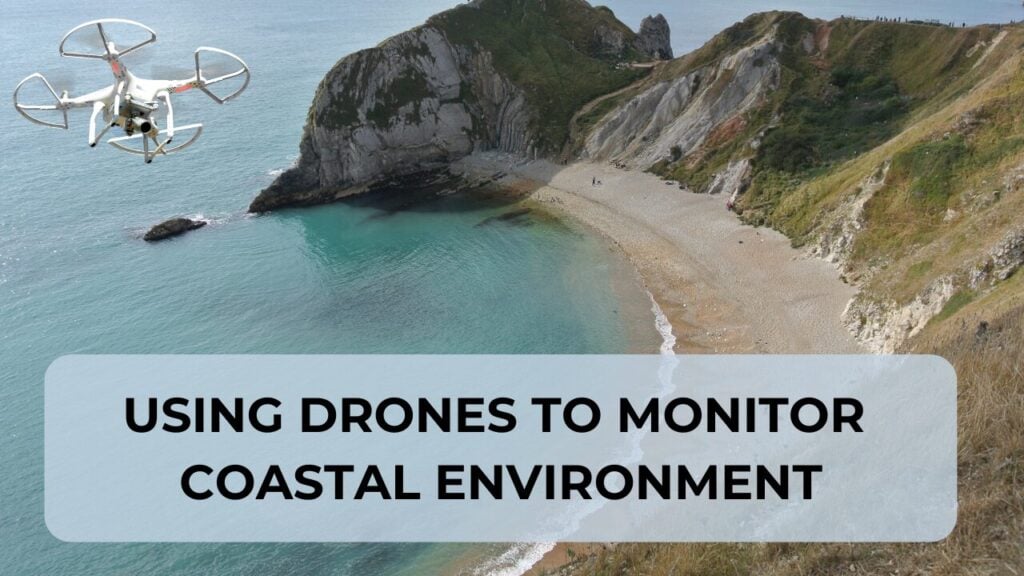
Coastal environments are among the most dynamic landscapes on Earth, constantly reshaped by storms, tides, and rising sea levels.
For communities living along these changing shorelines, understanding how their beaches and marshes evolve has become critical for planning and protection.
Why Drones Excel at Coastal Monitoring
Drones offer several key advantages for coastal research that satellites simply cannot match:
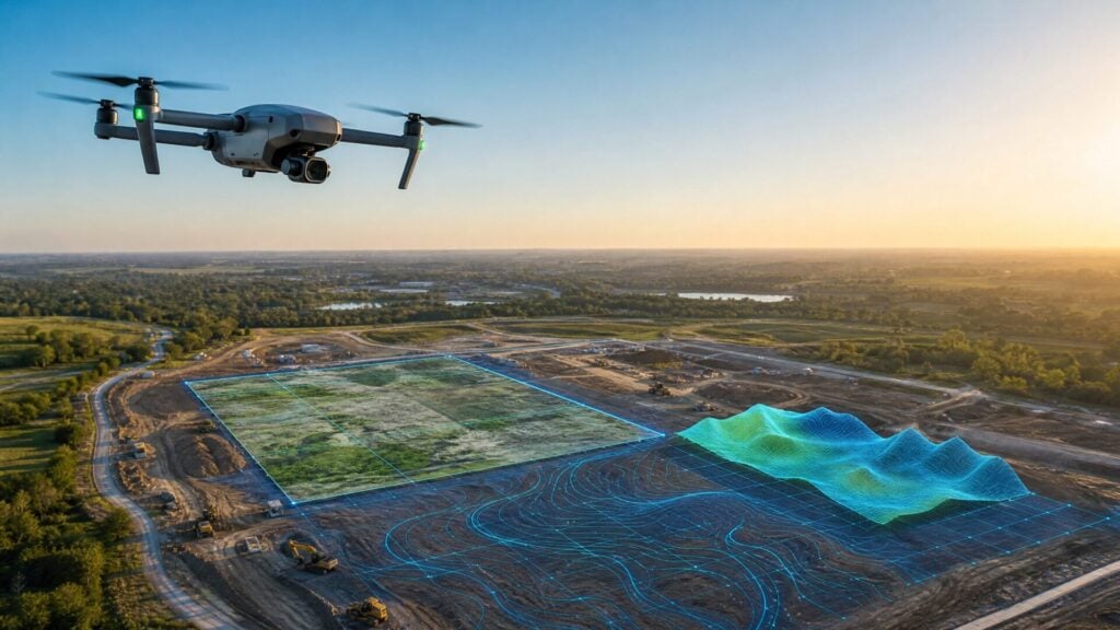
- Superior spatial resolution – Drone surveys capture details at the centimeter scale, something satellites will likely never achieve
- Rapid response time – Teams can deploy immediately after storms to document changes
- Controlled timing – Researchers can survey exactly when needed rather than waiting for satellite passes
- Cost-effective monitoring – Much cheaper than commissioning satellite imagery or helicopter surveys
The January 2024 storms in Maine perfectly illustrated these advantages.
Back-to-back record-breaking storms struck the coast, with the January 13th event producing the highest water levels ever observed in Maine. Researchers had begun drone monitoring in December 2023, providing crucial before-and-after data. Without this baseline information, communities were left driving out to inspect damage themselves, often without knowing what their beaches had looked like before the storms.
This documentation serves multiple purposes, including supporting FEMA applications for financial assistance to rebuild and strengthen coastal defenses.
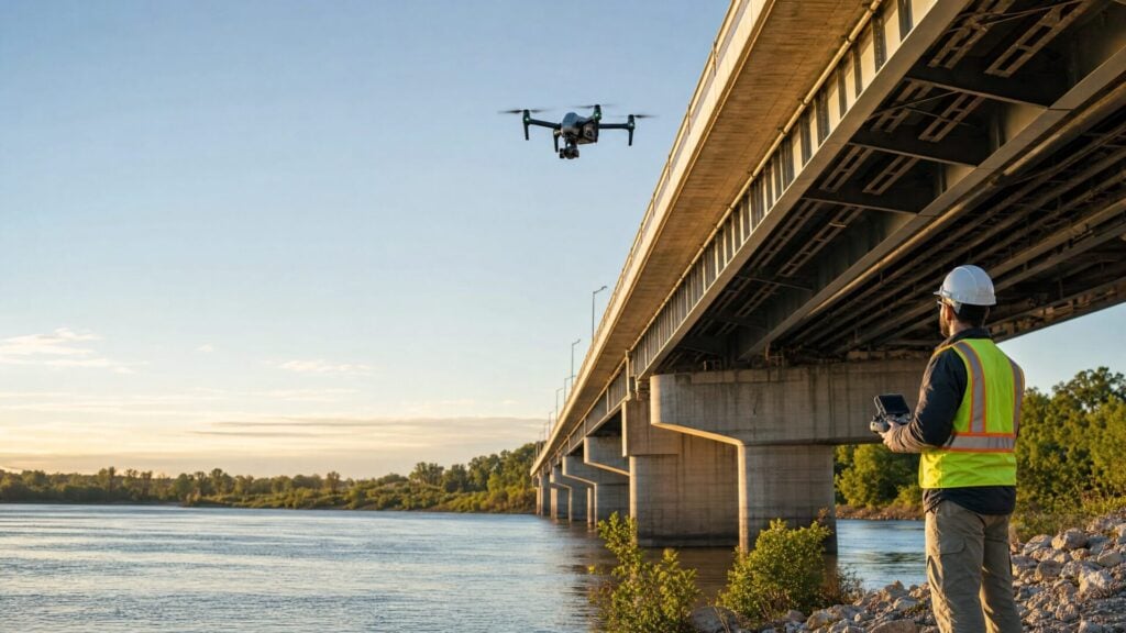
Equipment and Techniques That Work
The Maine research team has developed an effective equipment strategy that balances cost, accuracy, and operational needs.
Primary Equipment Setup:
- DJI Mavic 3 Enterprise with RTK – Around $5,000 investment
- Maine’s free CORS network – Streams RTK corrections at no additional cost
- Excellent beach accuracy – Achieves results comparable to expensive LiDAR on sand
Advanced LiDAR System:
- Inspired Flight 1200A with YellowScan Mapper – For vegetation areas
- Penetrates dune grasses – Reveals actual ground surface beneath vegetation
- Seasonal accuracy – Prevents false readings from changing vegetation
Strategic Deployment:
- Photogrammetry surveys: Every 2-3 months for regular monitoring
- LiDAR flights: Every 6 months as verification backbone
An important insight from this coastal monitoring work is that relative accuracy often matters more than absolute accuracy.
Researchers care more about how much dunes are changing rather than their exact geographic coordinates. This approach reduces the pressure for perfect ground control and allows for more flexible, cost-effective surveying.
Even consumer-grade drones can produce valuable results when flown systematically and processed through photogrammetry software. The key is taking enough overlapping images of the same area to build detailed 3D point clouds that reveal landscape changes over time.
Building Community Resilience
The ultimate goal extends beyond academic research.
Maine communities face real decisions about coastal protection, and drone data helps inform these choices.
Key Community Applications:
- FEMA documentation – Before-and-after data supports disaster relief applications
- Planning decisions – Data informs coastal protection strategies
- Natural system maintenance – Focus on dune systems rather than seawalls
- Economic protection – Helps maintain coastal environments supporting tourism and local business
Drone monitoring helps communities understand how these natural systems respond to storms and how they can be maintained or restored most effectively.
This work represents a practical application of drone technology that benefits both scientific understanding and community planning. As coastal challenges intensify in the coming decades, this type of monitoring will become increasingly valuable for communities worldwide facing similar pressures from changing coastlines.
Article By:
Share this post