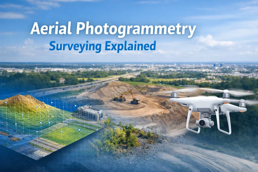
Aerial photogrammetry surveying is one of the fastest-growing tools in modern mapping, construction, and land development. If you’ve ever wondered how drones turn photos into accurate maps, 3D models, and measurements, you’re in the right place.
In this guide, Drone Launch Academy breaks down what’s actually happening behind the scenes, where it’s used, and how professionals learn to do it correctly in the real world.
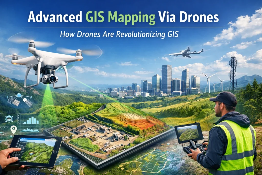
What Is Aerial Photogrammetry?
The simple answer: it’s the process of using overlapping aerial photos to measure the real world.
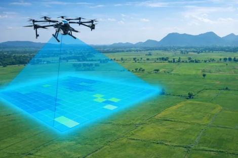
A drone or aircraft flies over an area and captures hundreds (sometimes thousands) of images from above. Specialized software then analyzes the overlap between those images to calculate distance, depth, and elevation.
The result? Accurate geospatial data and maps, terrain models, and 3D reconstructions.
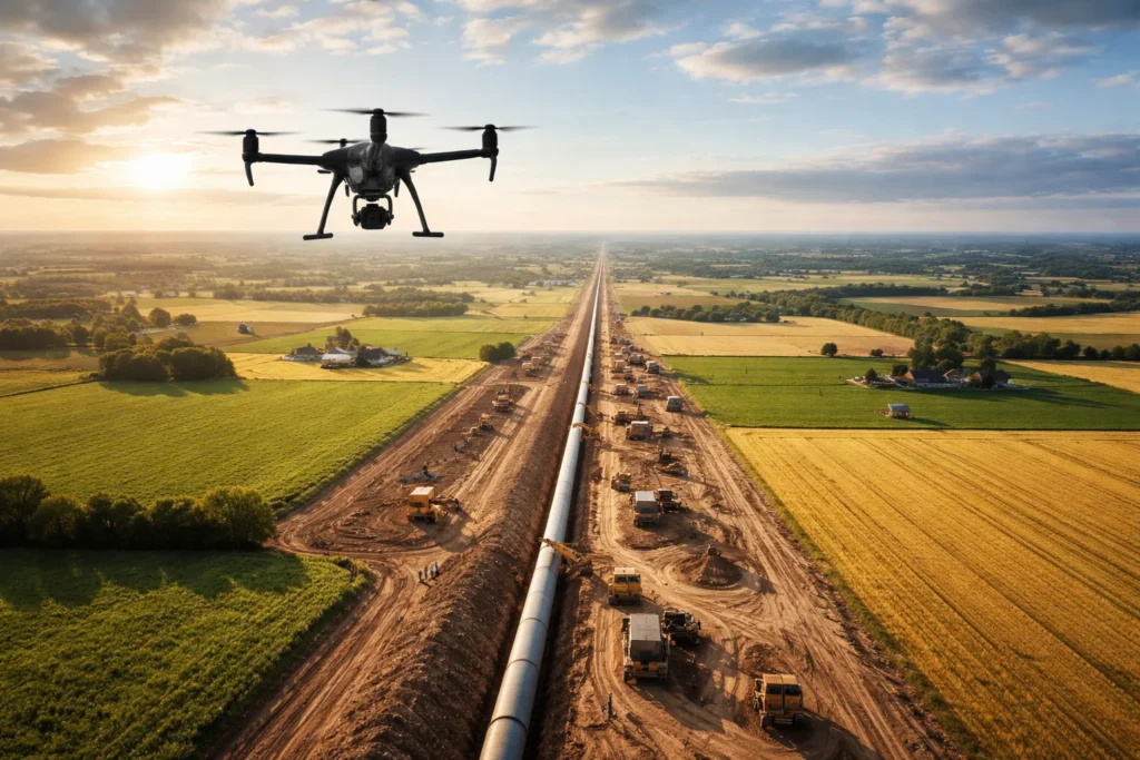
This method is widely used when surveying on foot would be slow, dangerous, or impractical—think large construction sites, remote land, busy roadways, or hazardous terrain.
Read our guide on what aerial surveying is.
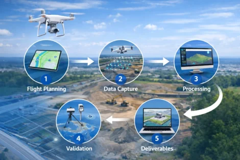
How Aerial Photogrammetry Surveying Actually Works
Here’s how aerial photogrammetry typically plays out in the field:
- Flight Planning: The UAV pilot plans altitude, image overlap, and ground coverage.
- Data capture: A drone or aircraft collects high-resolution images straight down (nadir) or at angles (oblique).
- Processing: Software stitches images together and calculates measurements using geometry.
- Validation: GNSS, RTK/PPK, or ground control points are used to confirm accuracy.
- Deliverables: Final outputs include maps, contours, volumes, and 3D models that clients can actually use.
This workflow is the backbone of aerial photogrammetry for land surveying, construction monitoring, and engineering analysis.
Types of Aerial Photogrammetry and Related Technologies
There are several types of aerial photogrammetry, each suited for different jobs:
- Nadir photogrammetry for accurate mapping and measurements
- Oblique photogrammetry for 3D modeling and visual inspection
- Aerial and terrestrial photogrammetry, which combines drone images with ground-based photos for added detail
In many professional projects, photogrammetry is paired with LiDAR. An aerial LiDAR and photogrammetry survey combines laser-based elevation data with high-resolution imagery, giving teams both visual context and precise surface models.
Modern projects often rely on unmanned aerial systems for photogrammetry, replacing traditional manned aircraft with drones that are faster, safer, and more cost-effective. A properly equipped aerial photogrammetry drone can now deliver results that once required a full survey crew.
Key Benefits of Aerial Photogrammetry
- Speed and Efficiency: Map large areas in a fraction of the time required for ground surveys, reducing labor and project timelines.
- Improved Safety: Eliminates the need for surveyors to enter dangerous or inaccessible locations
- High Accuracy: Achieve centimeter-level accuracy
- Data-Rich Outputs: Complete digital representations of a site that can be revisited and re-measured without returning to the field.
Where Aerial Photogrammetry Services Are Used
Today, aerial photogrammetry services support a wide range of industries:
- Construction & Engineering: Cut-and-fill reports, progress tracking, as-built comparisons
- Land Development: Boundary planning, terrain analysis, and site design
- Surveying: Topographic maps and planimetric data
- Infrastructure & Utilities: Asset inspection and corridor mapping
How Professionals Learn to Do It Right
Flying a drone is easy. Delivering accurate survey data is not.
That’s why many professionals invest in a structured aerial photogrammetry course rather than piecing things together through trial and error.
Drone Launch Academy’s Advanced Drone Mapping Program gives you real-world, survey-grade skills that are required to work with surveyors, engineers, and construction firms.
Training topics taught by industry leaders include:
- Geodesy
- GNSS Positioning
- RTK/PPK Workflows
- Professional Deliverables
This program is a clear path from flying drones to landing high-paying mapping and surveying work.
Get Started Today
Aerial photogrammetry has transformed how land is measured, modeled, and managed. When done correctly, it saves time, improves safety, and delivers data that traditional methods can’t match in speed.
Whether you’re exploring new career paths or looking to expand your drone services, understanding how this technology works—and how to apply it professionally—is the key to standing out in a competitive market.