Ever wondered what makes drone mapping data trustworthy enough for real survey work?
This week, we’re diving deep into accuracy reports with Michael Detwiler, a licensed surveyor with over 20 years of experience who’s transitioned from flying helicopters and airplanes to keeping his feet on the ground with drones.
What Does "Survey Grade" Actually Mean?
Let’s start with the elephant in the room – everyone loves throwing around the term “survey grade accuracy,” but what does that actually mean? According to Michael, it’s pretty straightforward: for surveying and engineering purposes, you want aerial survey data that’s less than a tenth of a foot in accuracy. That applies to both horizontal and vertical measurements.
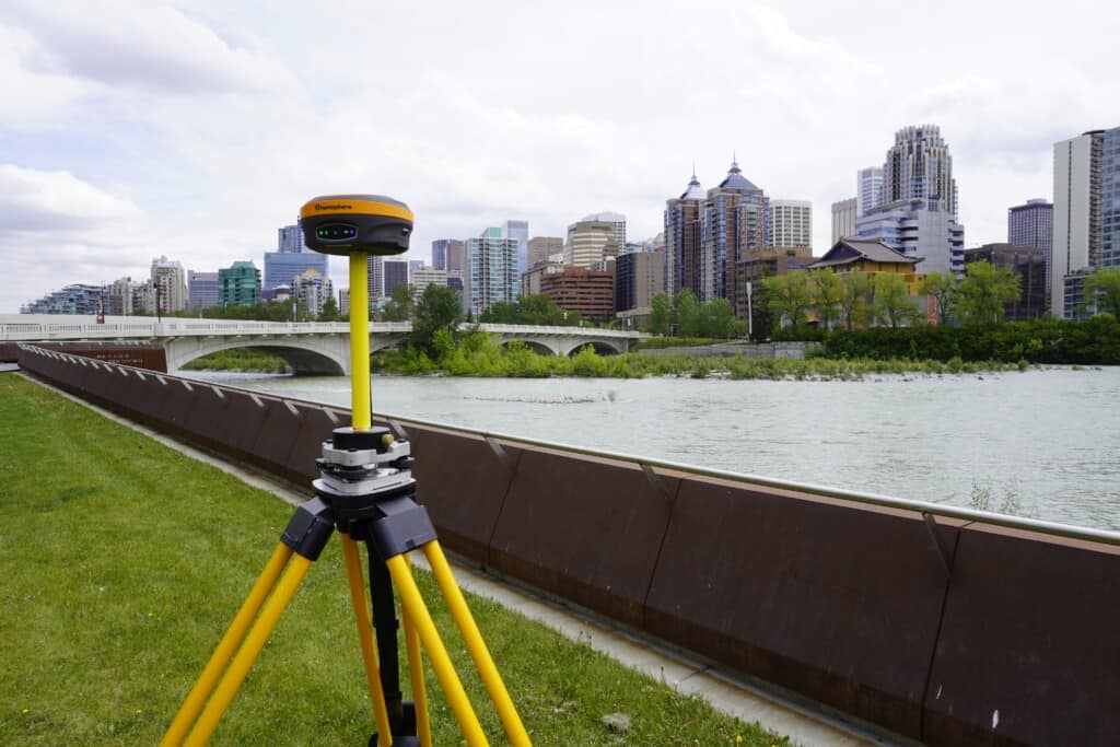
Now here’s the kicker – aerial surveying is actually the least accurate of all survey methods (compared to total stations or GPS), but modern PPK-enabled drones like the WingtraOne can consistently hit these targets when used properly.
The Magic Behind Root Mean Square Error (RMSE)
Those RMSE numbers you see in your quality reports?
They’re telling you something important.
RMSE compares two known points – your drone data and your ground control points – and calculates the error at each control point. The “root mean square” part just ensures all values are positive, because you could have errors in both directions that would otherwise cancel each other out.
Think of it this way: if you’re 5 centimeters too high in one spot and 5 centimeters too low in another, a simple average would make it look like you’re spot-on. RMSE prevents this false confidence by squaring all the values.
Ground Control Points: More is Better (Usually)
Here’s where many drone operators go wrong – using too few ground control points (GCPs).
The general rule is simple: draw a perimeter around your outermost control points, and everything you’re mapping needs to be inside that boundary. Anything outside that perimeter? The accuracy falls apart quickly.
For a square site, you’d ideally put control points in each corner plus one in the middle. Real sites aren’t usually perfect squares, so you need enough points to create a solid perimeter around your area of interest.
The Checkpoint Reality Check
But here’s where it gets interesting – you also need checkpoints (independent validation points) to truly verify your accuracy. The industry standard recently jumped from 20 to 30 minimum checkpoints, based on statistical principles about sample sizes and normal distribution.
Why so many? Because three checkpoints clustered in one corner of your site tell you nothing about accuracy in the rest of the area. You need them spread across the entire site to catch errors wherever they might occur.
PPK Makes All the Difference
Here’s why modern PPK-enabled drones like the Wingtra are game-changers: older consumer drones might have uniform errors across the entire dataset – maybe the whole thing is 50 feet off in one corner and 100 feet off vertically in another, creating warping effects.
PPK drones start much closer to reality, so your whole dataset moves together uniformly. This means you can actually get away with fewer GCPs (though that’s not necessarily recommended for critical work).
The Processing Pipeline Reality
Michael shared something eye-opening in the podcast episode about his workflow: he checks accuracy at three different stages – in the photogrammetry software (like Pix4D), after importing into mapping software (like Global Mapper), and again in the final CAD deliverable.
Why? Because data gets manipulated at each step, and he wants to know exactly where accuracy might be lost in the process.
Those initial RMSE numbers from your photogrammetry software? They’re just the beginning of the story.
Ground Sampling Distance Matters
Here’s a useful rule of thumb: take your Ground Sampling Distance (GSD) and multiply by 1-2 times for expected horizontal error, and 2-3 times for vertical error.
So if you’re capturing one-inch GSD imagery, expect 1-2 inches of horizontal error and 2-3 inches of vertical error. The orange grove project achieved 0.06-inch GSD, which explains those incredibly low RMSE values
Modern PPK drones can absolutely achieve survey-grade accuracy when used properly. But “properly” means understanding control networks, using enough checkpoints spread across your site, and validating your results through the entire processing pipeline – not just trusting those initial RMSE numbers.
Article By:
Share this post