


Let’s break down each course.
Geodesy for Drone Surveying

If you’ve ever struggled to understand datums, coordinate systems, or projections, you’re not alone. But these concepts are essential. They determine how your drone data aligns with real-world locations.
In our Geodesy Drone Surveying program, you’ll learn:
- How to survey with a drone
- How coordinate systems, ellipsoids, and datums work
- Why accuracy depends on choosing the right reference frame
- How surveyors interpret location data
- How to avoid common positioning mistakes
GNSS Positioning & Survey Control for Drone Mapping

This is where you learn how professional drone pilots achieve survey-grade accuracy. You’ll discover how GNSS tools work and how to apply RTK, PPK, and ground control points.
In our GNSS Positioning and Survey Control course, you’ll learn:
- How GNSS receivers work
- When to use RTK vs. PPK
- How to place and measure GCPs
- How to validate and check accuracy
- How to integrate surveyor data into your workflow
If you want to offer drone land surveying services, this step is essential. Without these courses for surveying using drones, your maps may look nice, but they won’t be accurate enough for real projects.
Advanced Drone Mapping for Construction & Engineering

Construction companies rely on drones for fast, accurate data. In this Advanced Mapping for Construction and Engineering program, you’ll learn how to create the exact deliverables used on major job sites—including:
- Stockpile volume measurements
- High-accuracy topography
- Cut-and-fill calculations
- As-built comparisons
- Site progress reports
These skills help you work with civil engineers and project managers who need reliable, actionable data.
Enroll (BUTTON)
Advanced Drone Mapping for Land Surveying

Drone mapping has become an essential tool for surveyors, but they still require precision, accuracy, and proper workflows. In this Advanced Drone Mapping for Land Survey course, you’ll learn:
- How to survey land with a drone
- How to create survey-grade contour lines
- How to build TIN models
- How to process imagery into topographic maps
- How to create planimetrics and terrain models
- How to reduce hours of fieldwork using drones
When combined with Steps 1 and 2, this drone land surveying training prepares you for serious drone surveys used in land development and planning.
Enroll (BUTTON)
Advanced 3D Modeling & Digital Twins
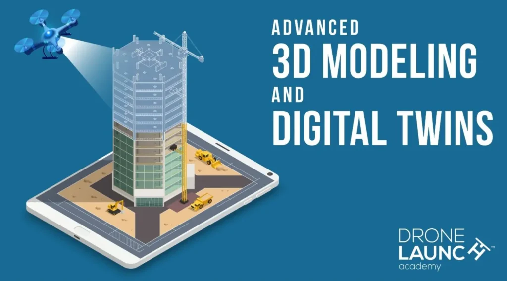
3D modeling is becoming a major part of construction, engineering, architecture, and infrastructure inspection. In this Advanced 3D Modeling and Digital Twins course, you’ll learn:
- How to capture data for 3D structures
- How to model facades, bridges, and buildings
- How to combine ground and drone imagery
- How digital twins are used in asset management
- How to deliver high-detail, realistic 3D models
These individual courses are just one piece of a comprehensive learning path. Unlock the full potential of your skills by enrolling in our complete program and save up to 30% compared to purchasing individual courses separately.
See Thousands of Our Students’ Success Stories
It was a very comprehensive course on complex material. Despite that, mastery and or understanding always felt attainable because the instructors explained it all very well.
- Jonathan Blevins (Video Production at Red Edge)
The information is provided in a manner that makes sense to people new to flying drones. The sectioned off learning points makes coming back to study easier.
- DeLane King (Police Officer at Reynoldsburg Police Department)
This course was extremely well laid out and extremely informative. The information within was thorough and detailed. The course instructors were well spoken and very knowledgeable.
- Harry Berg (Surveyor at Heritage Links)
Worth the money, the information was given in a good manner, not overwhelming or technical! the instruction and then chapters tests were good. That really was helpful to retain the information and not be overwhelmed. Customer Support was fast and friendly when I needed help.
- Timothy James OBrien
Learn From Real Experts – Meet Your Instructors
Drone Launch Academy’s Advanced Drone Mapping and Modeling Program is different because it’s built and taught by top industry professionals, including:
- Dave Doyle (Geodesy for Drone Surveying): Former Chief Geodetic Surveyor for the U.S. National Geodetic Survey. A leading expert on geodesy and coordinate systems.
- Chris Breedlove (GNSS and Survey Control): Certified GIS Professional (GISP) and expert in GNSS and survey control.A GNSS and survey control expert
- Nate Howard (Advanced Mapping for Construction and Engineering): Survey Manager at Kiewit, one of the largest construction and engineering firms in the U.S.
- Rut Patel (Advanced Drone Mapping for Land Survey): Founder of Voyager Industries and drone mapping expert for land surveying applications.
- Ted Strazimiri (Advanced 3D Modeling & Digital Twins): CEO of SkyDeploy, Adjunct Professor of UAS, and sought-after consultant for major drone manufacturers, specializing in 3D modeling, digital twins, and bridge/facade inspections.
These instructors work with surveying, engineering, and construction professionals every day. When you train with them, you’re learning the exact skills companies expect from experts.
Why Drone Surveying Is Becoming a High-Demand Skill
More industries than ever rely on drone data. Instead of sending survey crews into the field for hours or days, companies now use drones to gather location data, build 3D maps, measure volumes, and monitor construction sites.
Here are just a few fields that use drones every day:
- Land surveying
- Civil engineering
- Construction and excavation
- Agriculture
- Mining and quarrying
- Real estate development
- Public safety and disaster response
- Utilities and infrastructure
- Environmental studies
- Urban planning
This growth means there’s a huge demand for pilots who know how to capture and process accurate survey data. But companies don’t just want drone hobbyists—they want trained professionals. That’s why taking quality courses for surveying using drones is one of the best ways to stand out.
Why a Structured Course for Drone Surveying Matters
If you want to work with real companies on real projects, you need training that goes beyond “beginner mapping tutorials.” A structured drone survey course teaches you the right way to collect and process data from the start. This is especially important if you want to do:
- Survey-grade mapping
- Contour creation
- Digital terrain models
- Construction progress reporting
- Cut-and-fill measurements
- Stockpile volume calculations
- As-built comparisons
- 3D modeling and digital twins
Is This Drone Surveying Online Course Right for You?
You’ll benefit from this program if you:
- Want to offer high-value drone services
- Want to learn advanced mapping techniques
- Want a structured online education
- Want to transition into surveying or construction
- Want to work with engineers, surveyors, or GIS teams
- Want to earn a respected drone surveying certification
Even if you’re a beginner, the program starts with the core fundamentals and guides you step-by-step.
What You Can Do After Completing the Program
After completing this advanced drone mapping and surveying course, you’ll be qualified to work on:
- Land development projects
- Commercial construction jobs
- Civil engineering surveys
- Utility and infrastructure inspections
- Mining and quarry mapping
- Environmental and terrain studies
- Architecture and urban planning
- Large-scale real estate projects
You’ll also be able to start your own drone mapping business or add premium services to your existing drone company.

How to Get into Drone Surveying with Drone Launch Academy
Drone surveying is one of the most rewarding and profitable specialties in the drone industry. But to succeed, you need the right tools, the right knowledge, and the right training.
With Drone Launch Academy’s full program of drone surveying and mapping courses, you get everything you need to become confident, accurate, and capable of delivering professional-level results.
If you’re serious about expanding your skills, earning more money, and standing out in the industry, now is the perfect time to enroll in Drone Launch Academy’s advanced program.
You’ll receive:
- Lifetime access
- 5 full professional courses
- Drone surveying certification + certificates for each step completed
- A final Advanced Drone Mapping & Modeling Certificate
- A 30-day money-back guarantee
FAQs
Here are some frequently asked questions about drone surveying:
What Is a Drone Survey?
A drone survey uses a drone equipped with a camera or sensor to capture aerial images and data of land, structures, or terrain. The data is processed into maps, 3D models, or measurements for surveying and planning.
How Does Drone Surveying Work?
The drone flies a planned route, capturing overlapping photos or sensor data. Software then stitches the images together and converts them into accurate maps, measurements, and terrain models.
How Accurate Is a Drone Survey?
With proper equipment, RTK/PPK workflows, and ground control points, drone surveys can reach 2–5 cm accuracy, comparable to traditional surveying methods.
How Are Drones Used in Surveying?
Drones are used to create topographic maps, contour lines, 3D models, cut-and-fill reports, stockpile volumes, site documentation, and measurements for construction, engineering, mining, agriculture, and land development.


