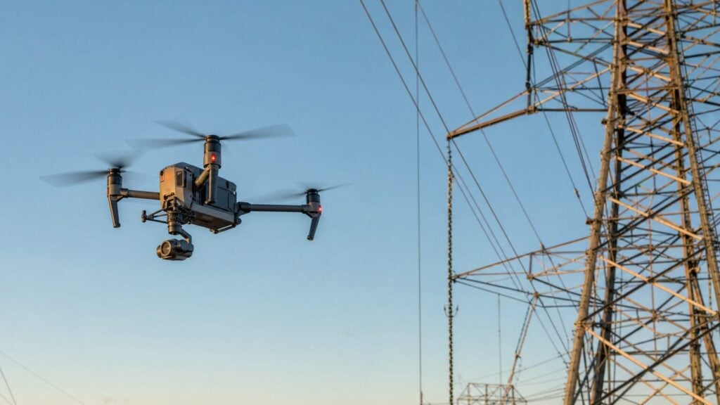
Learn how drone power line inspections work, what equipment you need, typical costs ($200-$300/mile), and how to start offering this lucrative service in 2026....
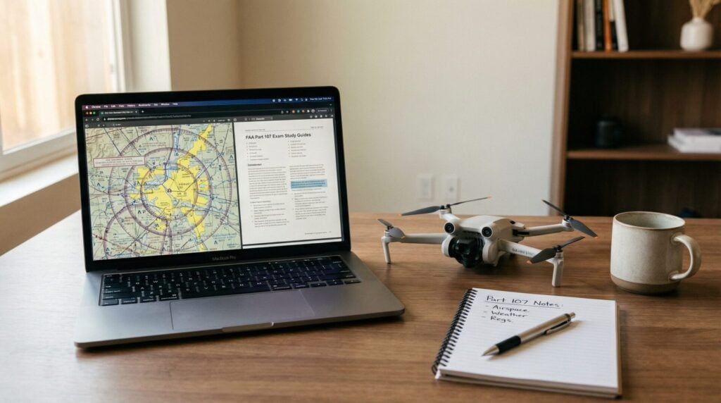
Complete Part 107 study guide for 2026. Learn what's on the FAA drone exam, how long to study, the best free and paid resources, and a week-by-week study...
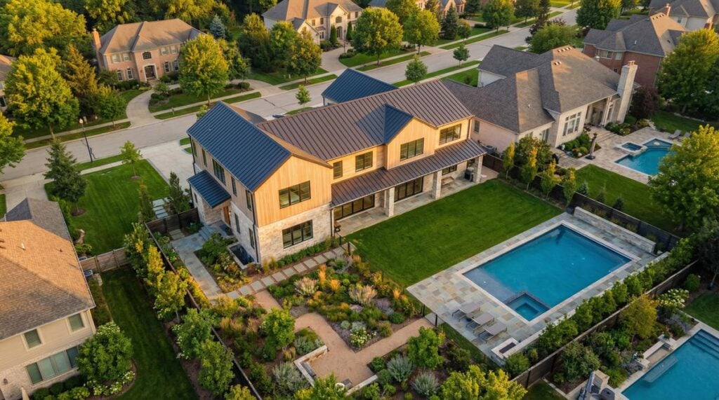
Learn everything about drone real estate photography in 2026: pricing ($150-$500), best drones, camera settings, FAA Part 107 requirements, and how to start a profitable aerial photography business....
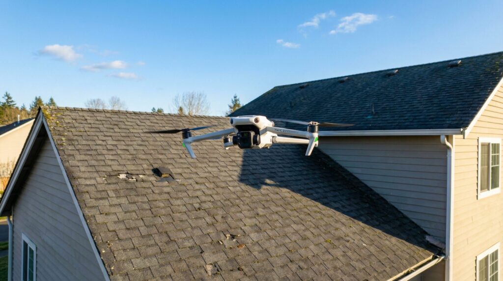
Last Updated: March 31, 2026 Drone roof inspections have replaced ladders and scaffolding for thousands of roofers, adjusters, and home inspectors across the United States. A drone roof...
Looking for drone pilot jobs? Learn what drone pilots earn ($50K–$130K+), which industries are hiring, and how to land your first gig — with or without experience....